
Building a community
We would like to welcome the many new subscribers to Project ’44 and remind you that you can also follow us on Twitter, Facebook and Instagram to have up to date sit-reps on the project.
For those of you who are just joining us, Project ’44 began over a year ago with a mission of mapping out the First Canadian Army on its Battle through Normandy.
With our team’s expertise in database management and geographical information systems (cartography) we devised a layered system to create the world’s largest and most comprehensive digital database of unit positions from the Battle of Normandy.
Included in this project are the unit war diaries and over 1000 documents that we have been converting into digital format. This will be a key component that will help us further the research of the Battle of Normandy and provide those looking to understand where their parents, grandparents and even great grandparents served in the summer of 1944.
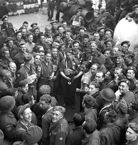
Lt. Leslie Herbert Browne, of the Royal Canadian Engineers, plays his David Glen bagpipes aboard a ship en route to France on the actual D-Day.
For a more in-depth look at the project read Nathan Kehler’s Blog Project ’44 - “Mapping the Battle of Normandy”.
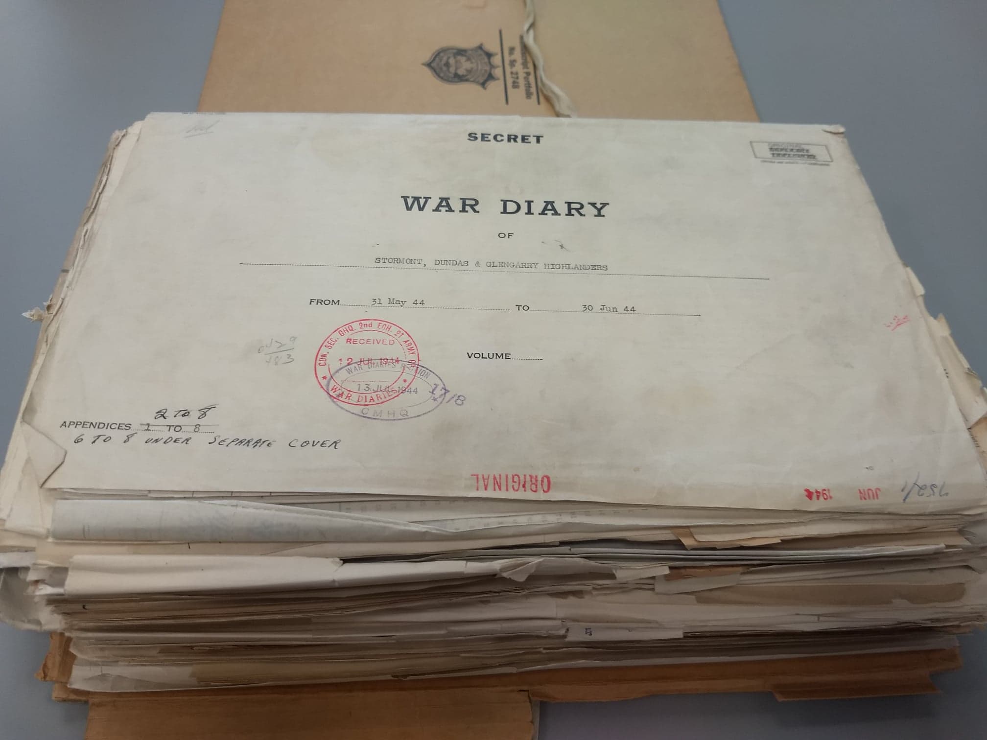
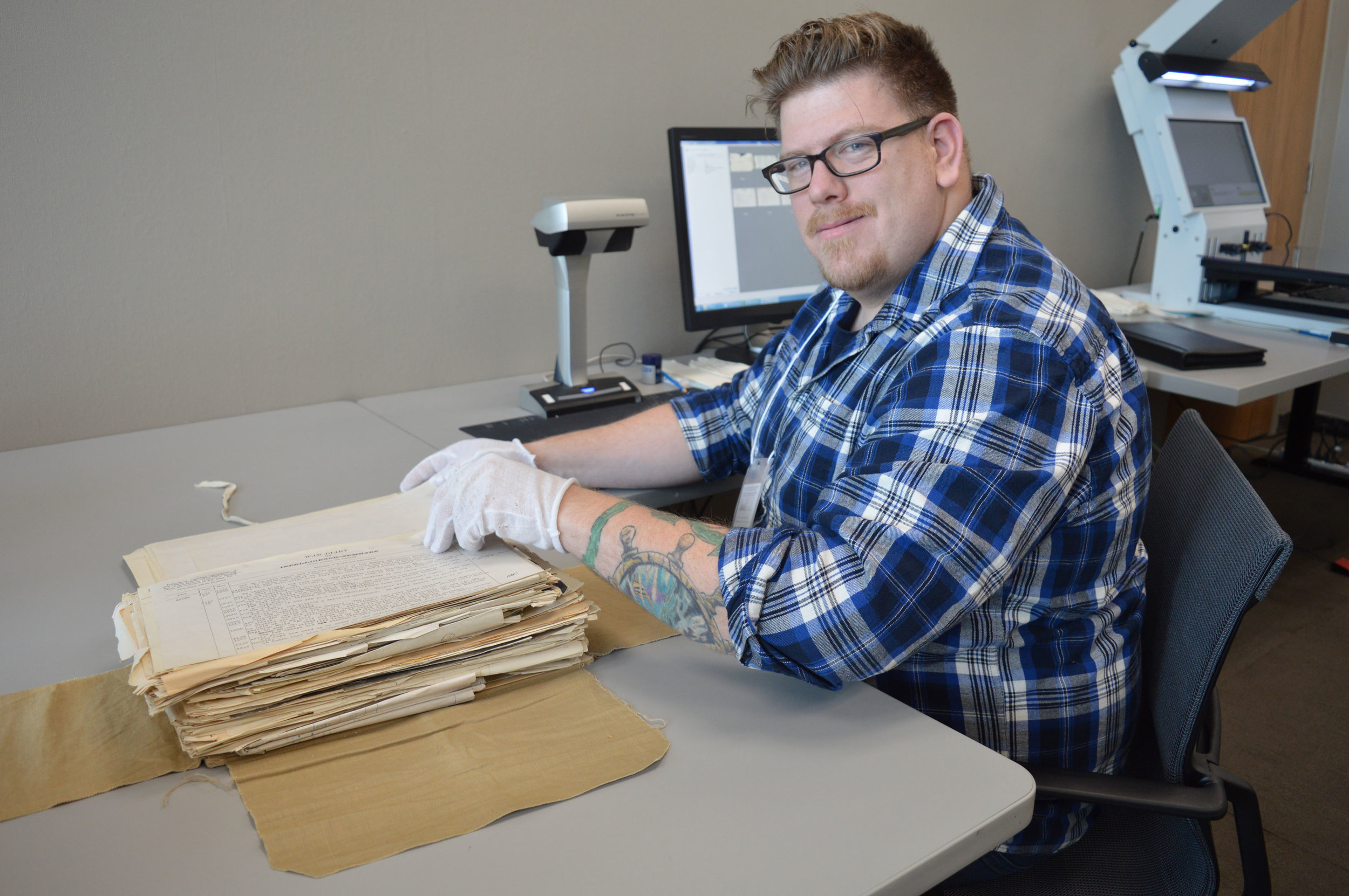
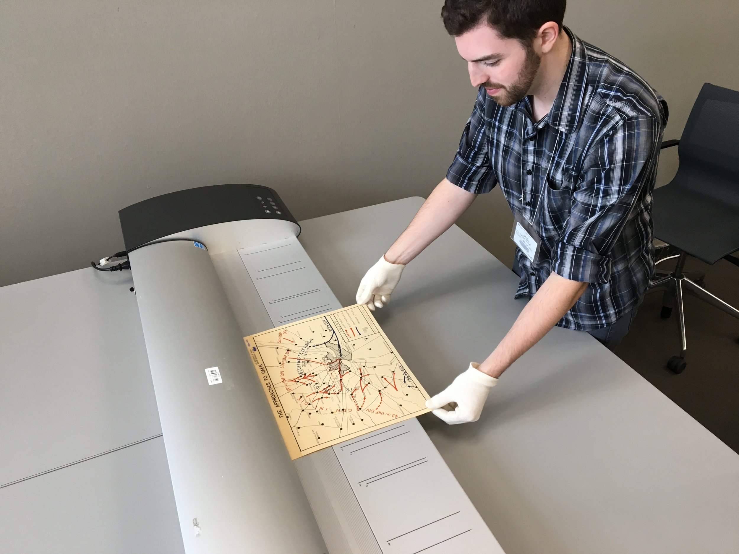
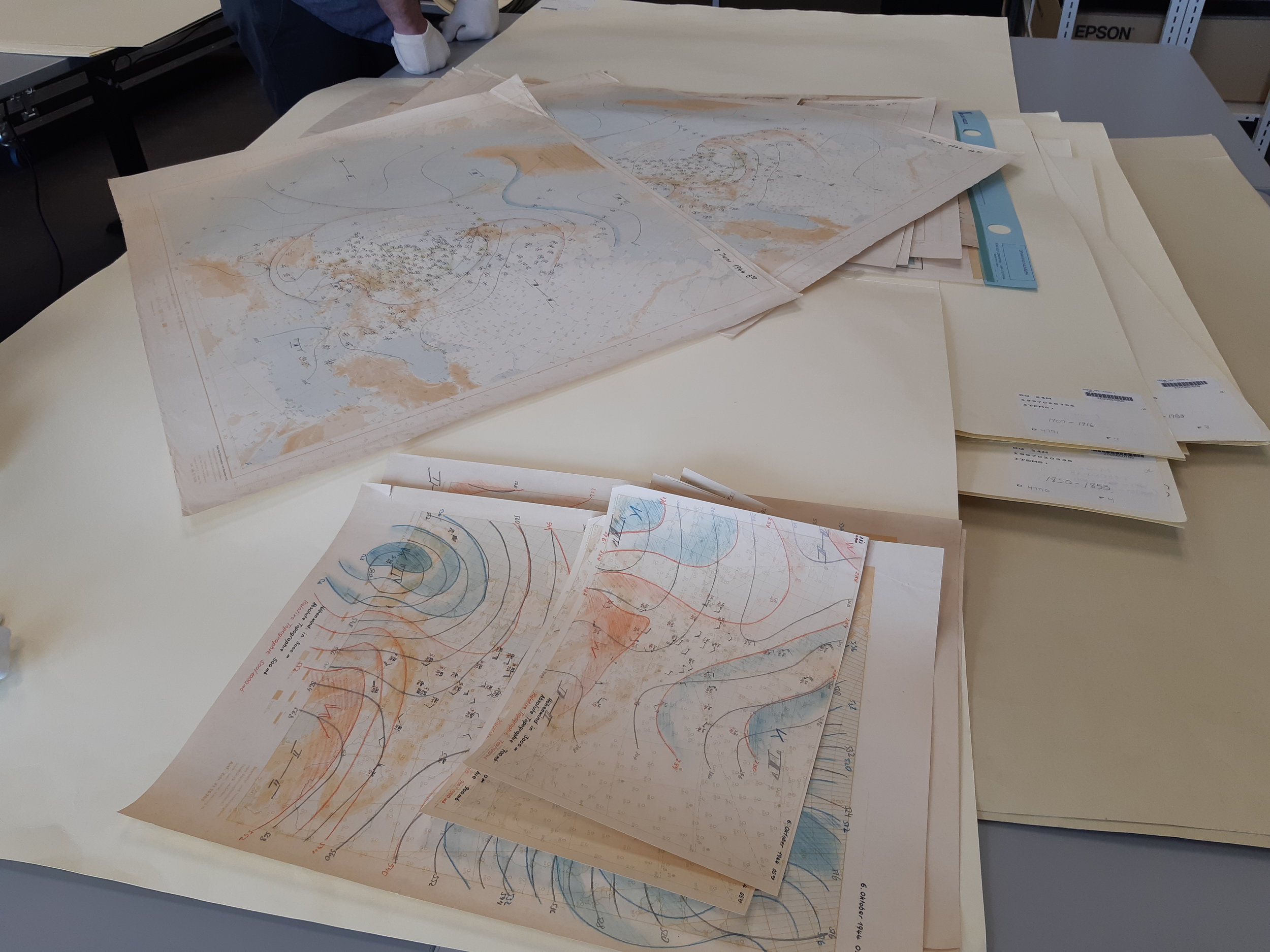
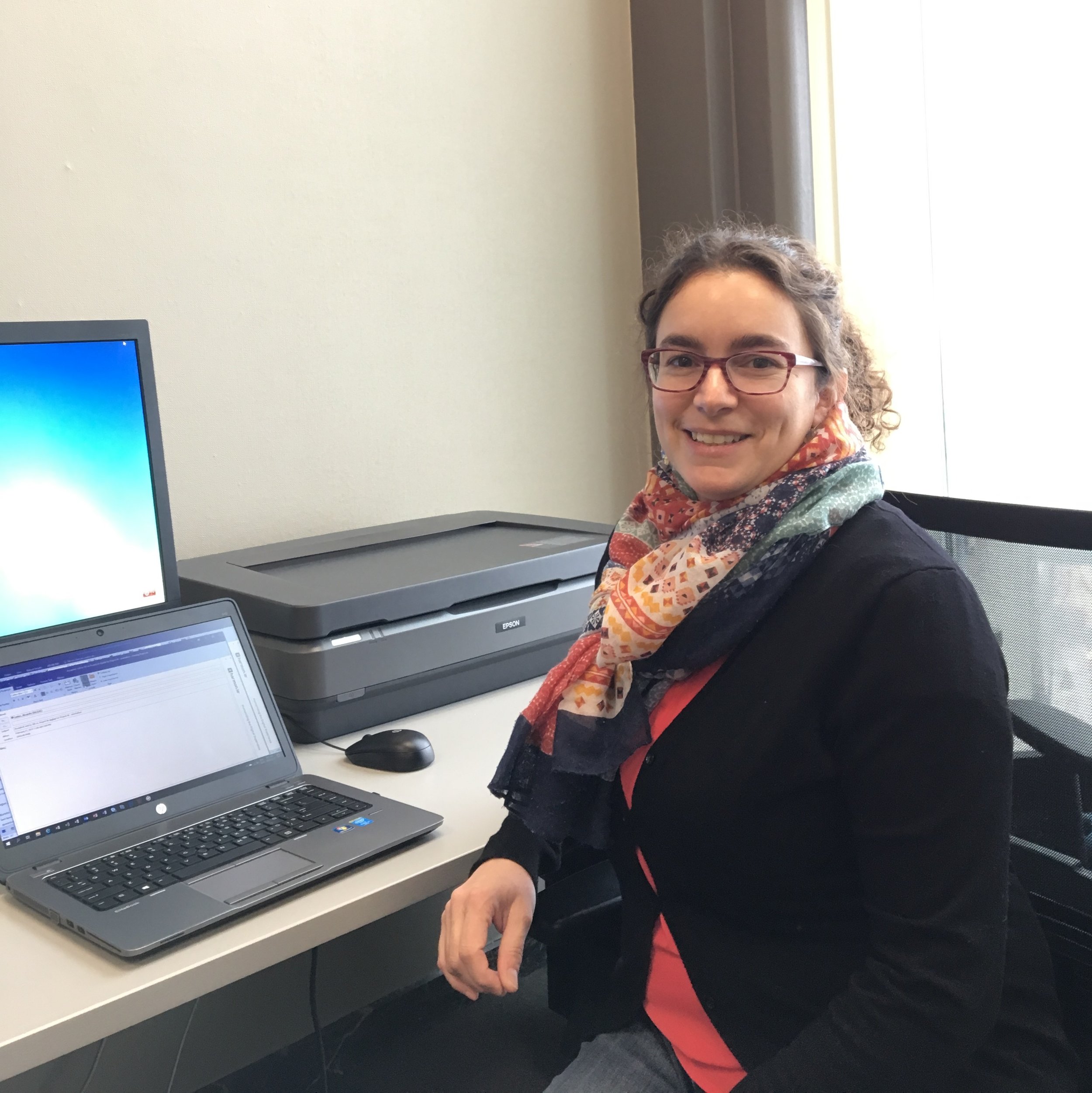
In December the team scanned the Stormont, Dundas and Glengarry Highlanders war diaries at Library and Archives Canada (LAC) and came across hundreds of maps, aerial images and documents that only the most ardent researchers had seen in the last 70 years. Many of these documents were in very poor condition and were identified to the Library and Archives preservation department.
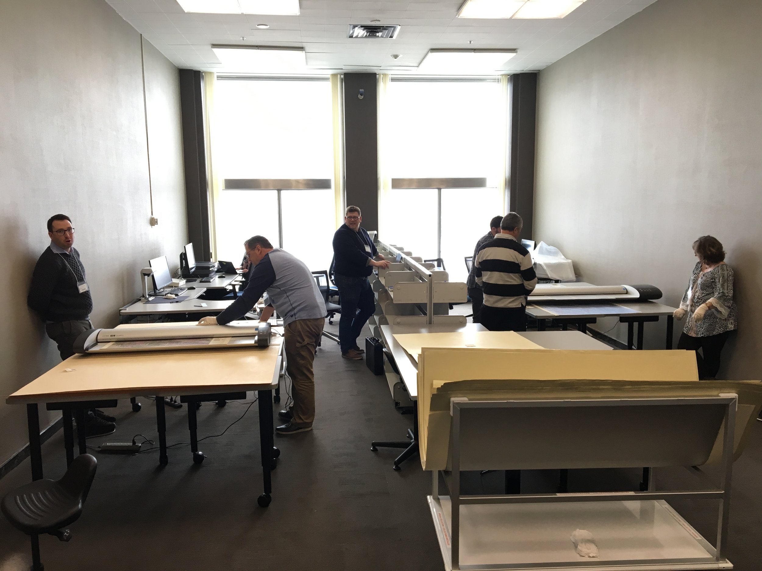
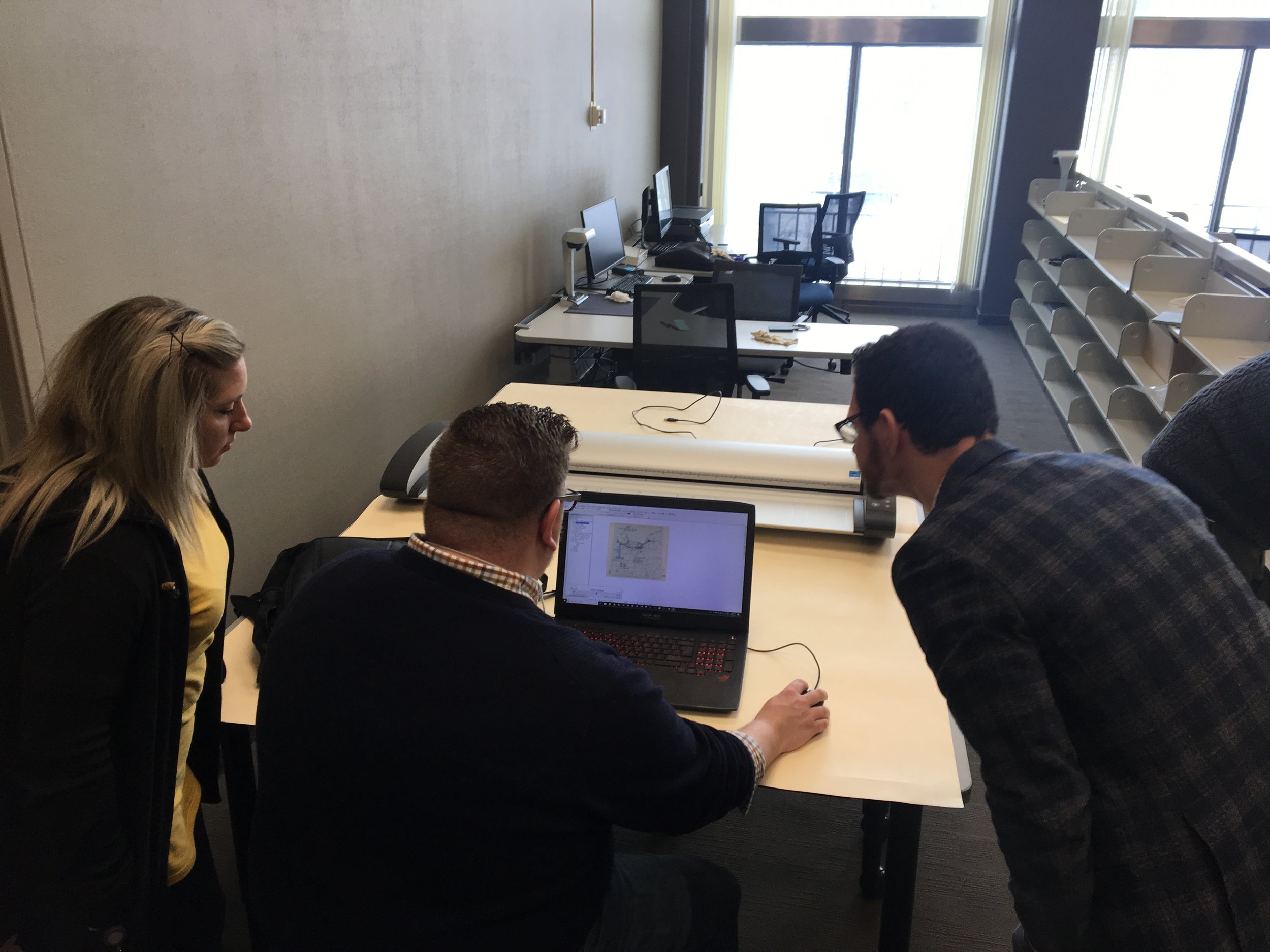
Fast forward to this past week and the CRMA returned to the LAC to digitize over 200 maps and 100’s of documents, many of which had been sent to preservation only two months before.
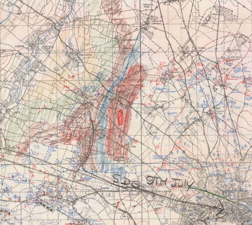
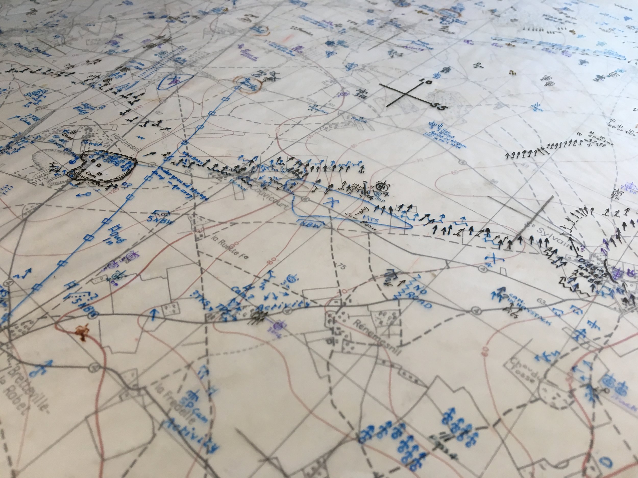
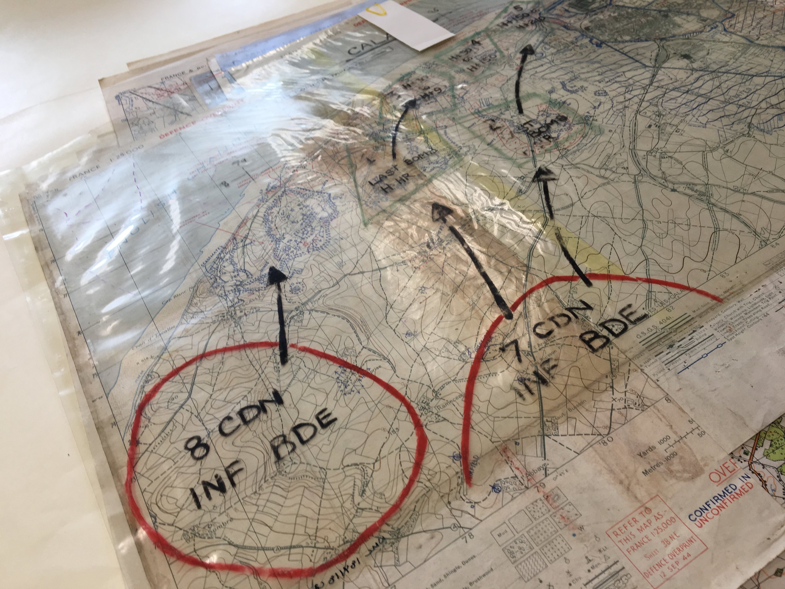
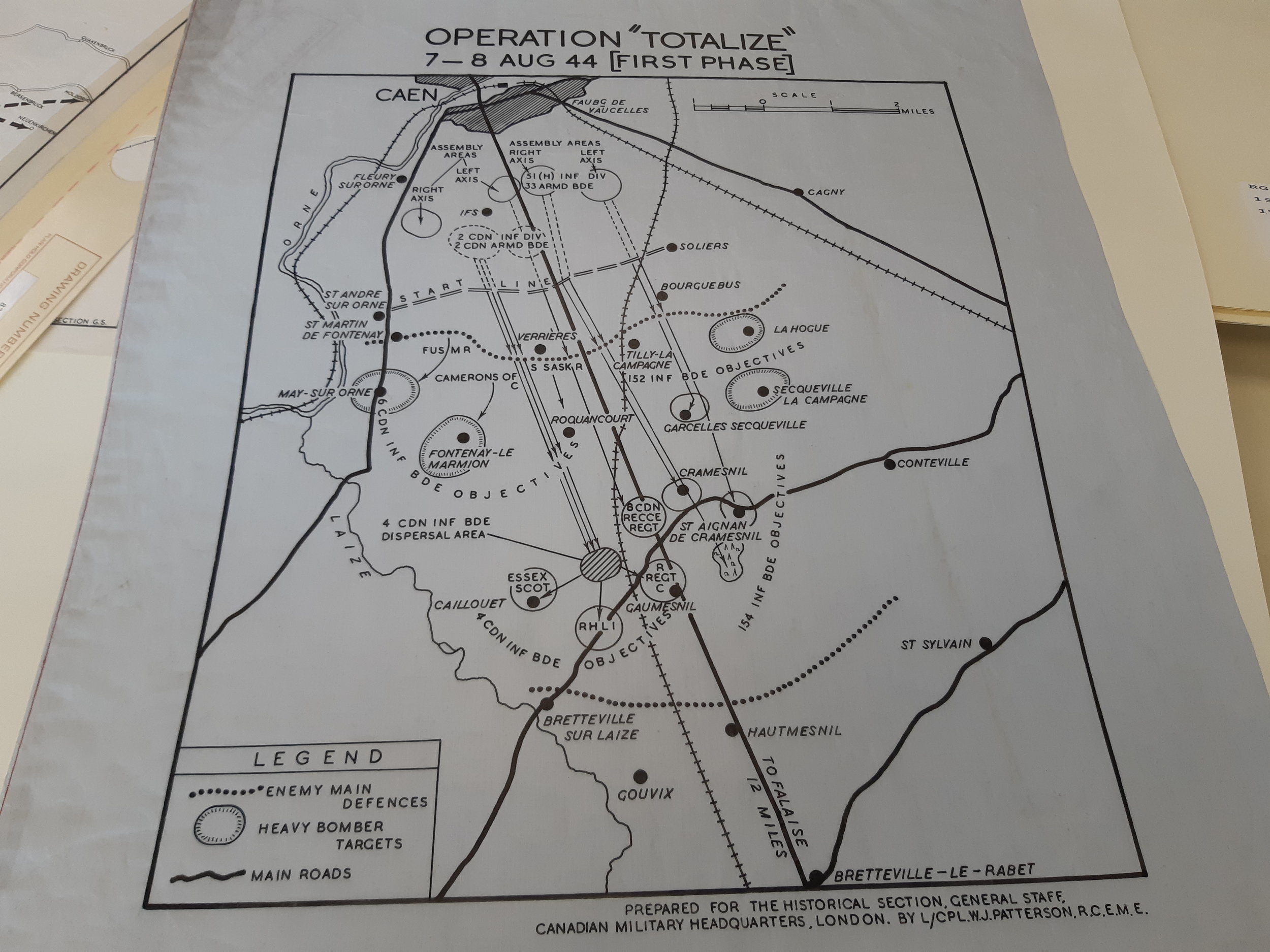
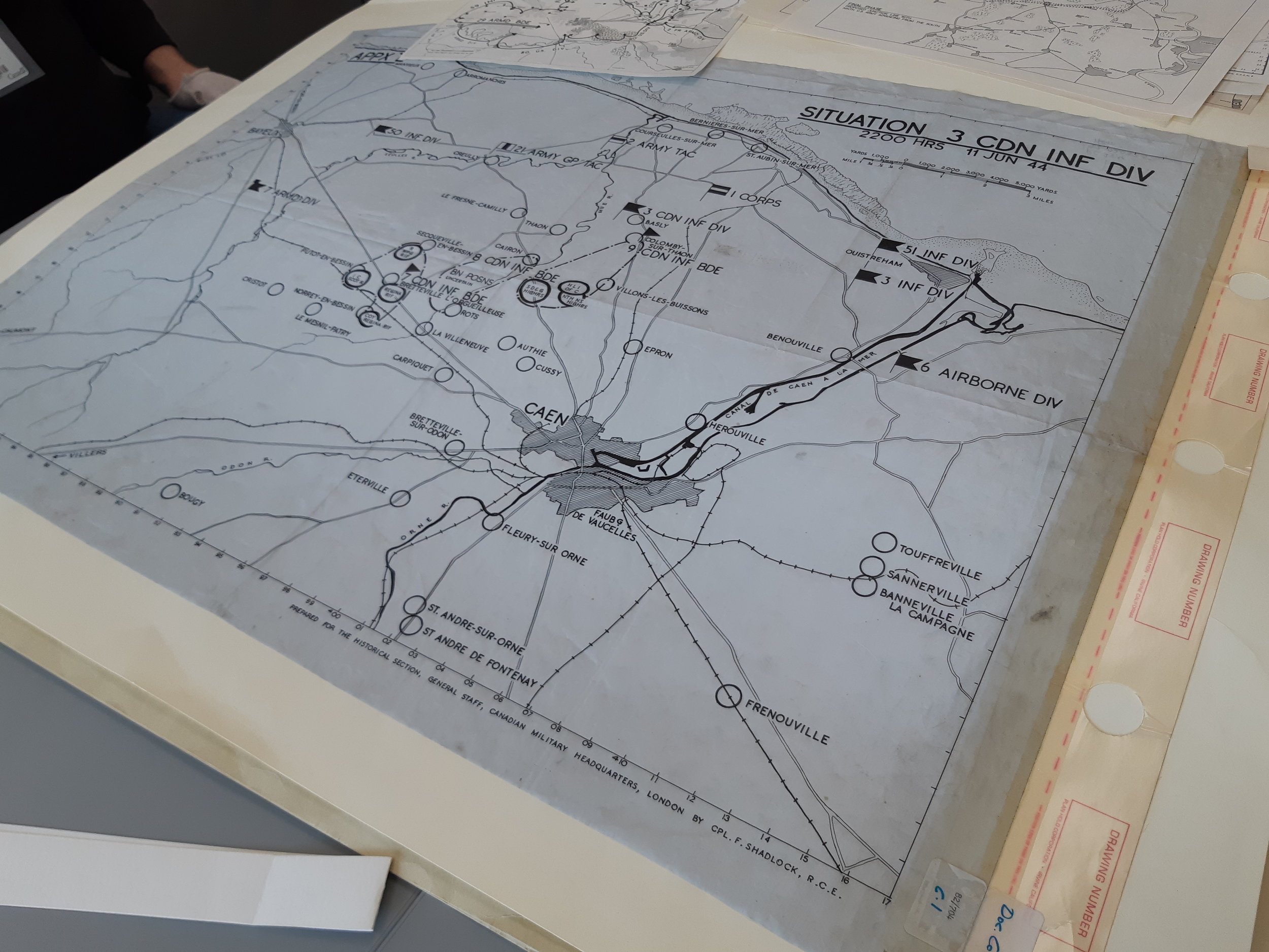
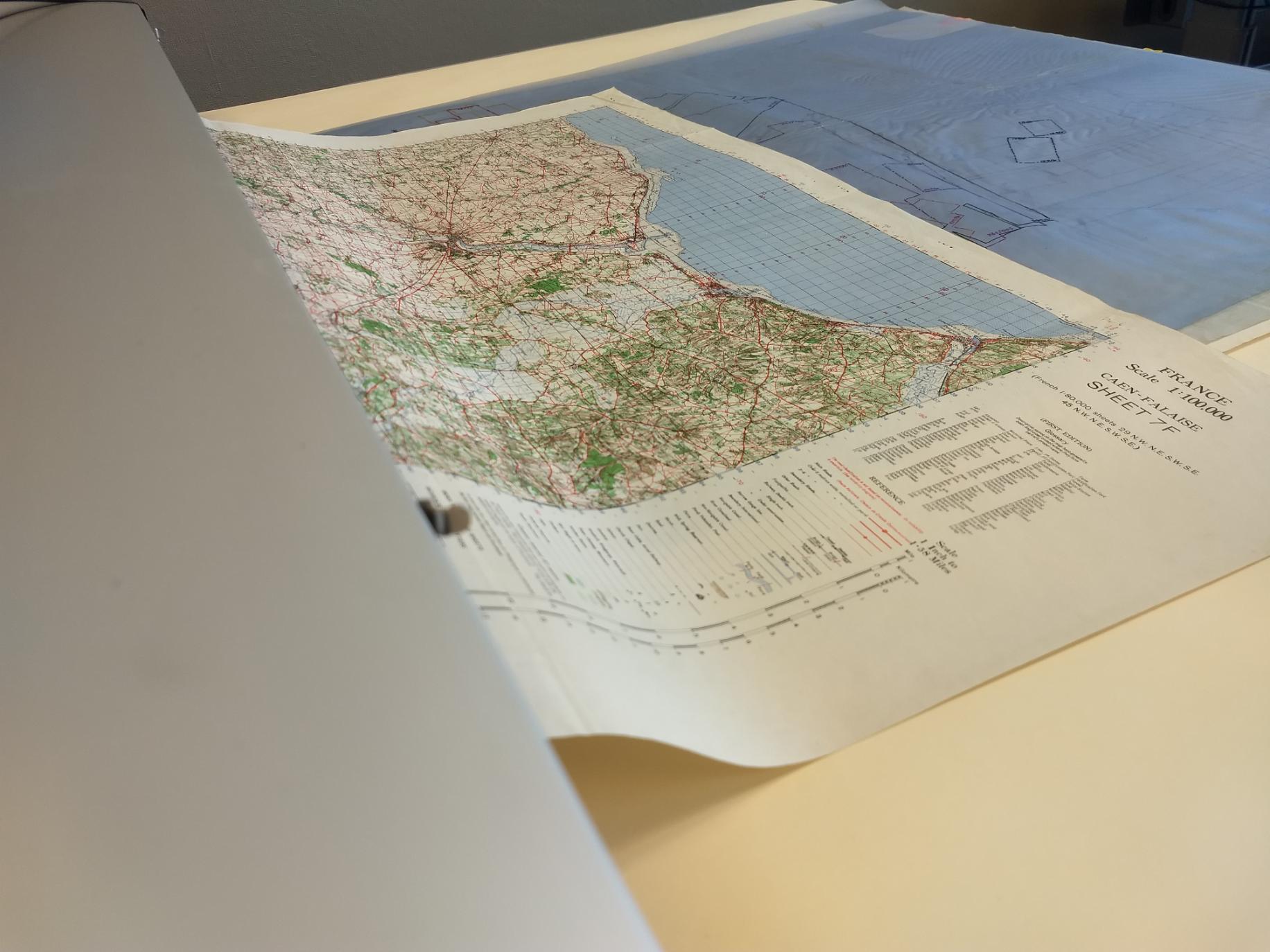
These maps include 1:25,000 defensive overlays, going-over maps that describe the terrain, and even captured German meteorological maps from the 7th of June 1944. These truly amazing documents will further the study of the Normandy Campaign.
None of this would have been possible without the help of volunteers who stepped up to assist the team in scanning. Their donation of time and effort greatly assisted the team in reaching its goal of 200 maps in 5 days. We also received support from our friends at the Garrison Petawawa Museum who we often collaborate with.
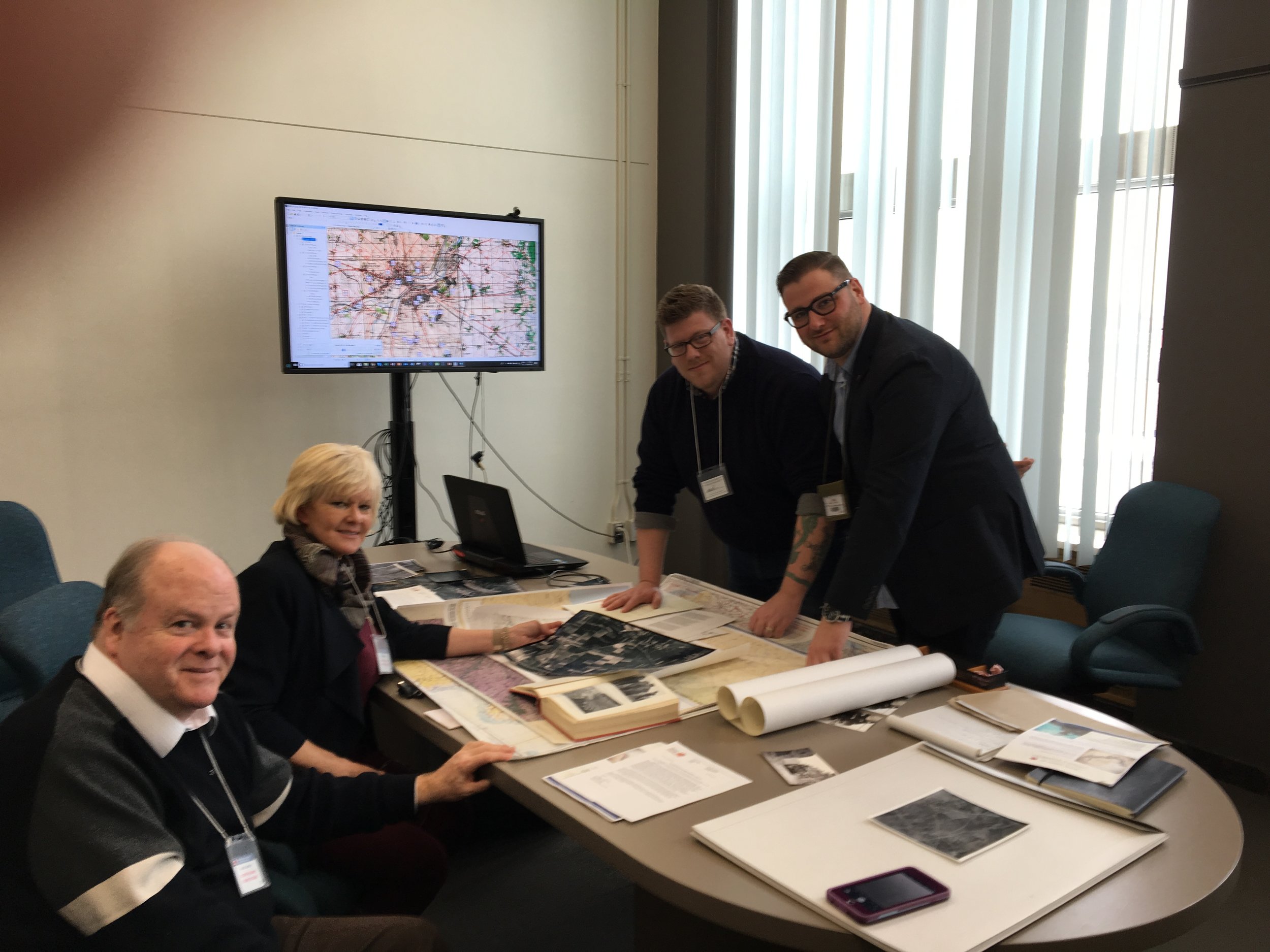
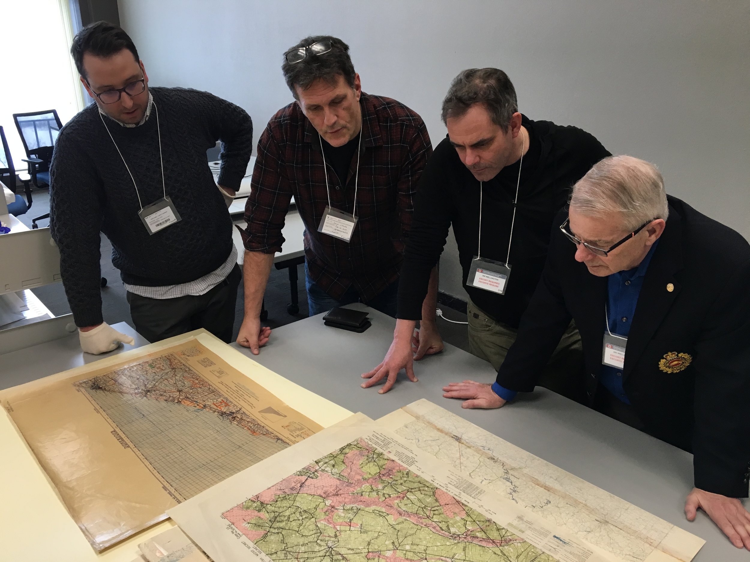
During our week at the LAC we had the opportunity to host a number of distinguished guests including the Colonel Commandant of the Canadian Military Engineering Branch Brigadier General Irwin, Renrew-Nippising-Pembroke Member of Parliament Cheryll Gallant, Canadian Grenadier Guards Honourary Lieutenant Colonel J. Paul de B. Taillon and curator Major (retd) Brian Tracey as well as historian and professor David O’Keefe.
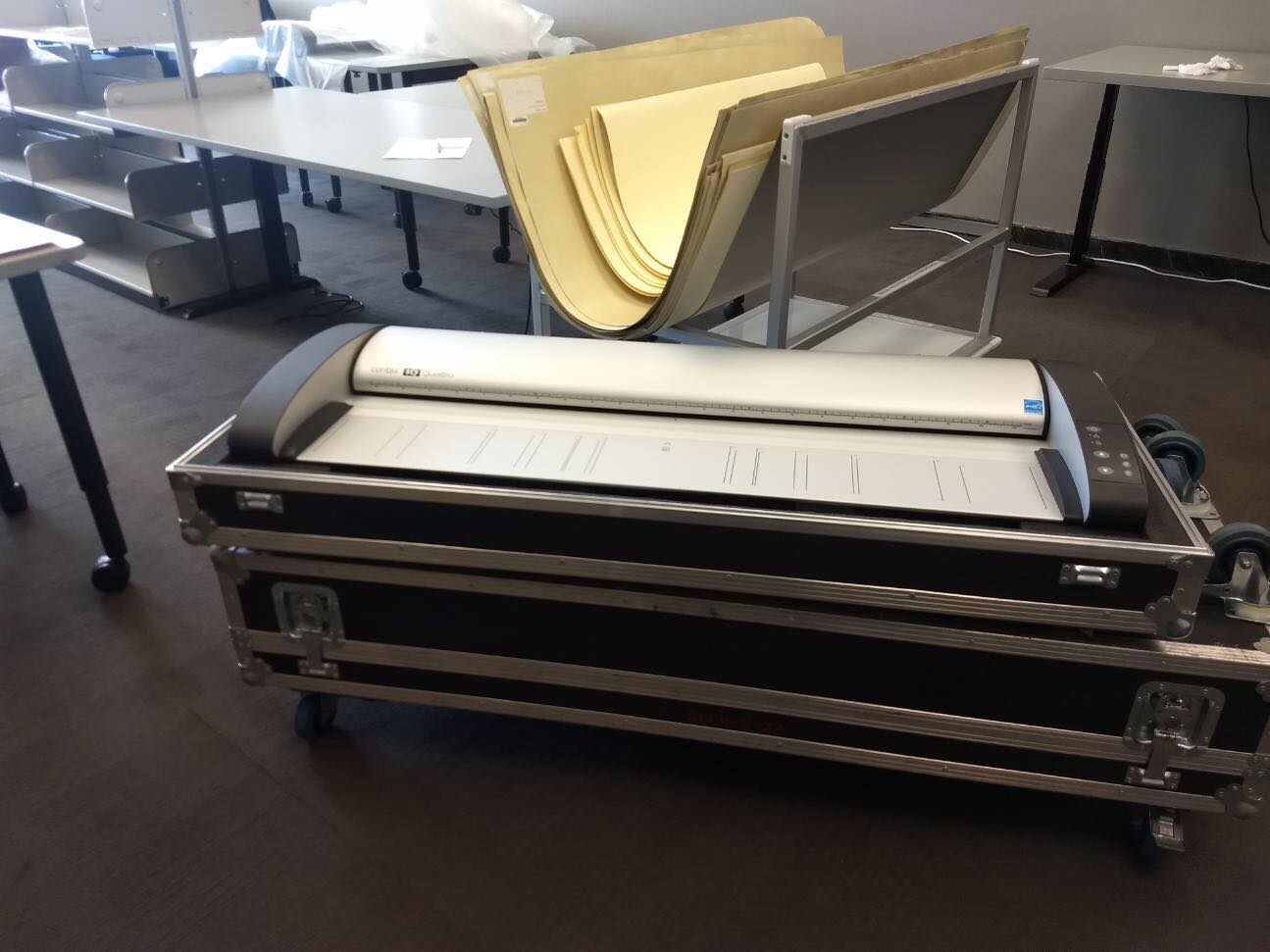
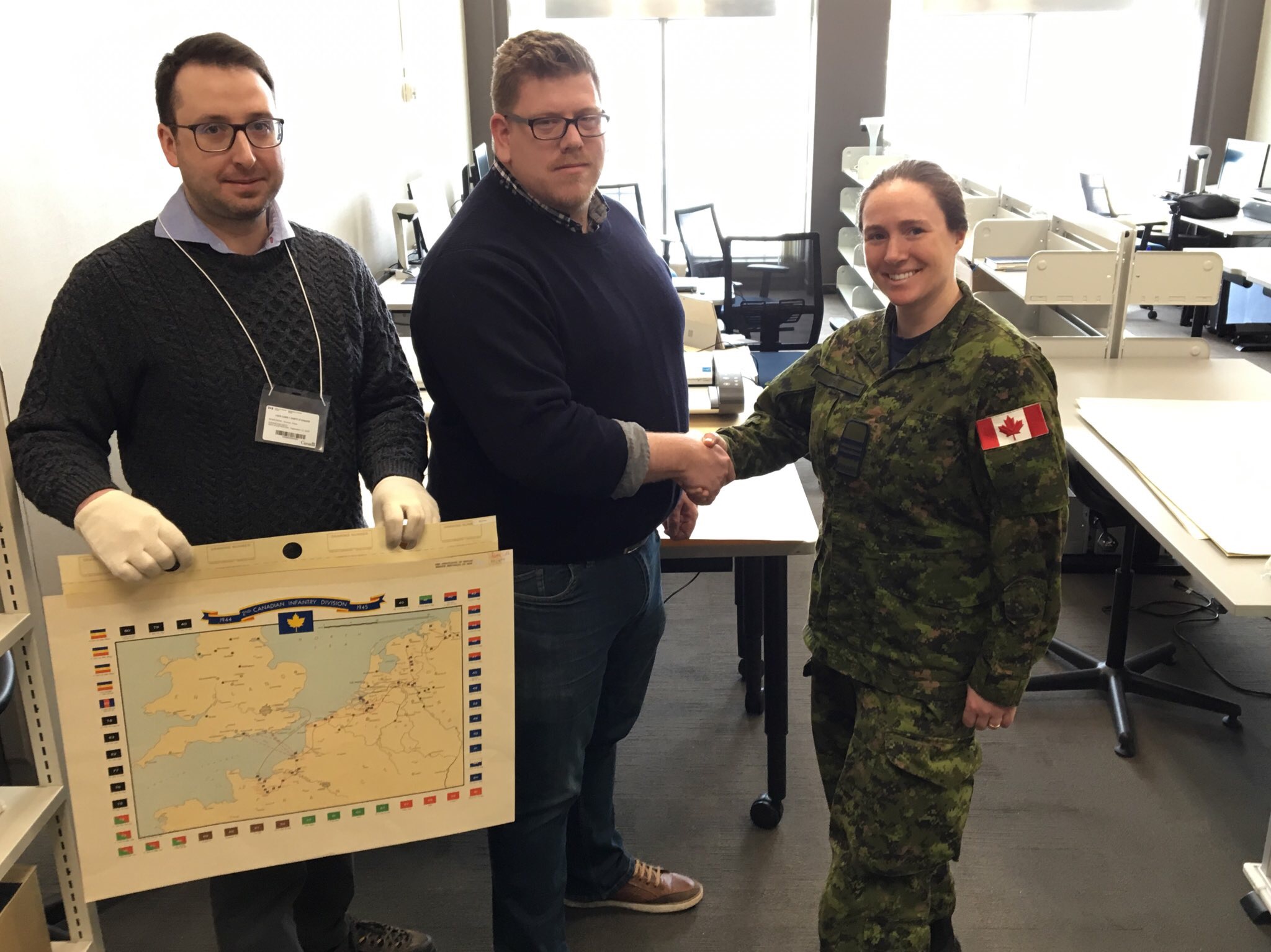
To top the week off, the team met with Mapping and Charting Establishment of the Department of National Defence and together we signed a Letter of Understanding providing a long-term loan of a large format scanner. With a more permanent scanner, the team can now work with other military museums, regiments and associations and assist these organizations in securing their digital future.
Lastly, we would like to thank the entire team at Library and Archives Canada for accommodating our team and project. We look forward to partnering with them on future digitization projects to help provide public access to our military history and heritage.
We have mapped 20,000 unit positions on 200+ maps with data from 70 war diaries, 37 RCAF log books and dozens of RCN logs and we are now finalizing the project. Our small team of volunteers including the members of the Canadian Research and Mapping Association(CRMA) have year to date contributed over 5000hrs in collecting, digitizing and preserving Canadian military history.
For us to launch on June 6th 2019 we are looking for your support in raising $100,000 to create the interactive (Front end) web map that will let you explore the Battle of Normandy with new depth and scope.
This has never done and will allow Canadians to understand where we fought with our allies 75 years ago. We need your support and contribution to get us there.